Geophysics, Bathymetry, Seismics and Geotechnics
Geophysics, seismic and bathymetric services across Uruguay and Latin America for prospecting, soil studies, geomorphology, sedimentation and the analysis of structures and foundations. Get dependable results through seismic surveys, stratigraphy, geotechnical parameters, multibeam and singlebeam bathymetry, vibration analysis and the detection of buried pipes and objects.
What is a geophysical survey?
Geophysical services are a set of non-invasive techniques that use different methods to study and map the composition and structure of the subsurface, the condition of infrastructure and foundations, and environmental variables, among others.
These studies are essential to a wide range of projects, from infrastructure construction to natural resource exploration.
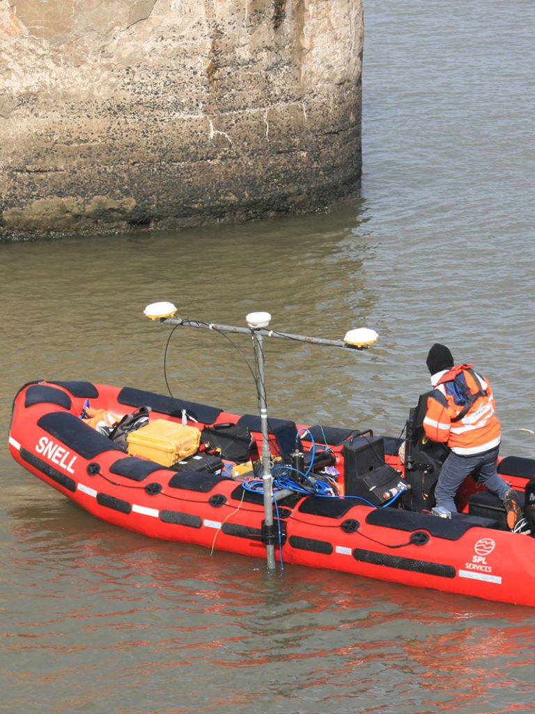
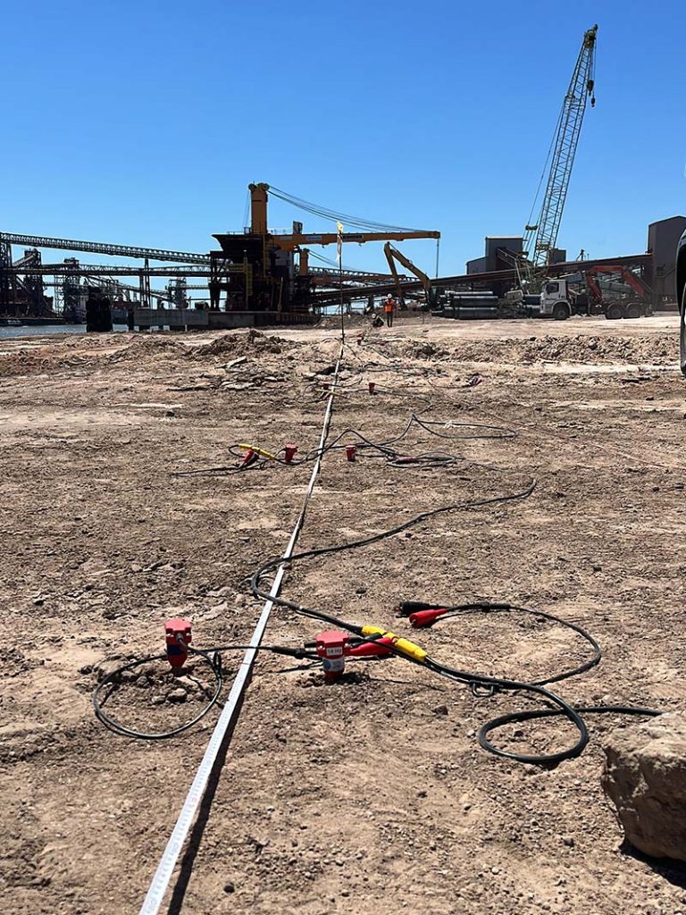
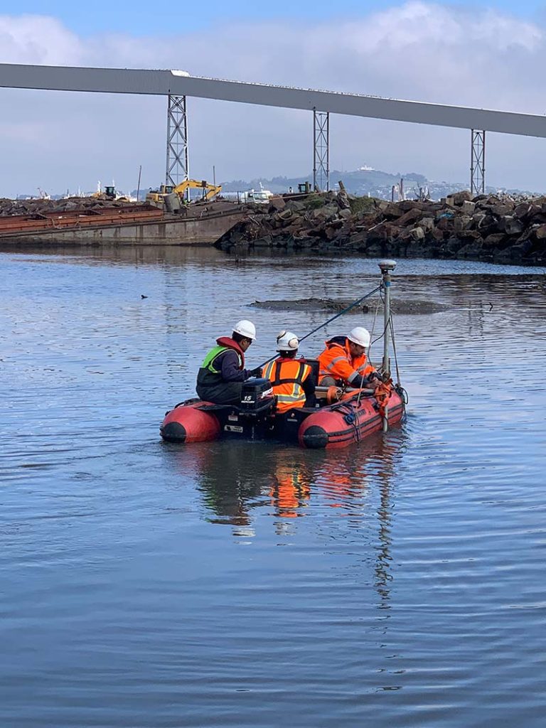
Advanced, sustainable technology for infrastructure assessment through the following techniques:
- Site survey projects. Multibeam and singlebeam bathymetry
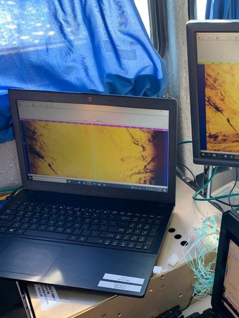
- Magnetometry and sub-bottom profiling (marine and land)
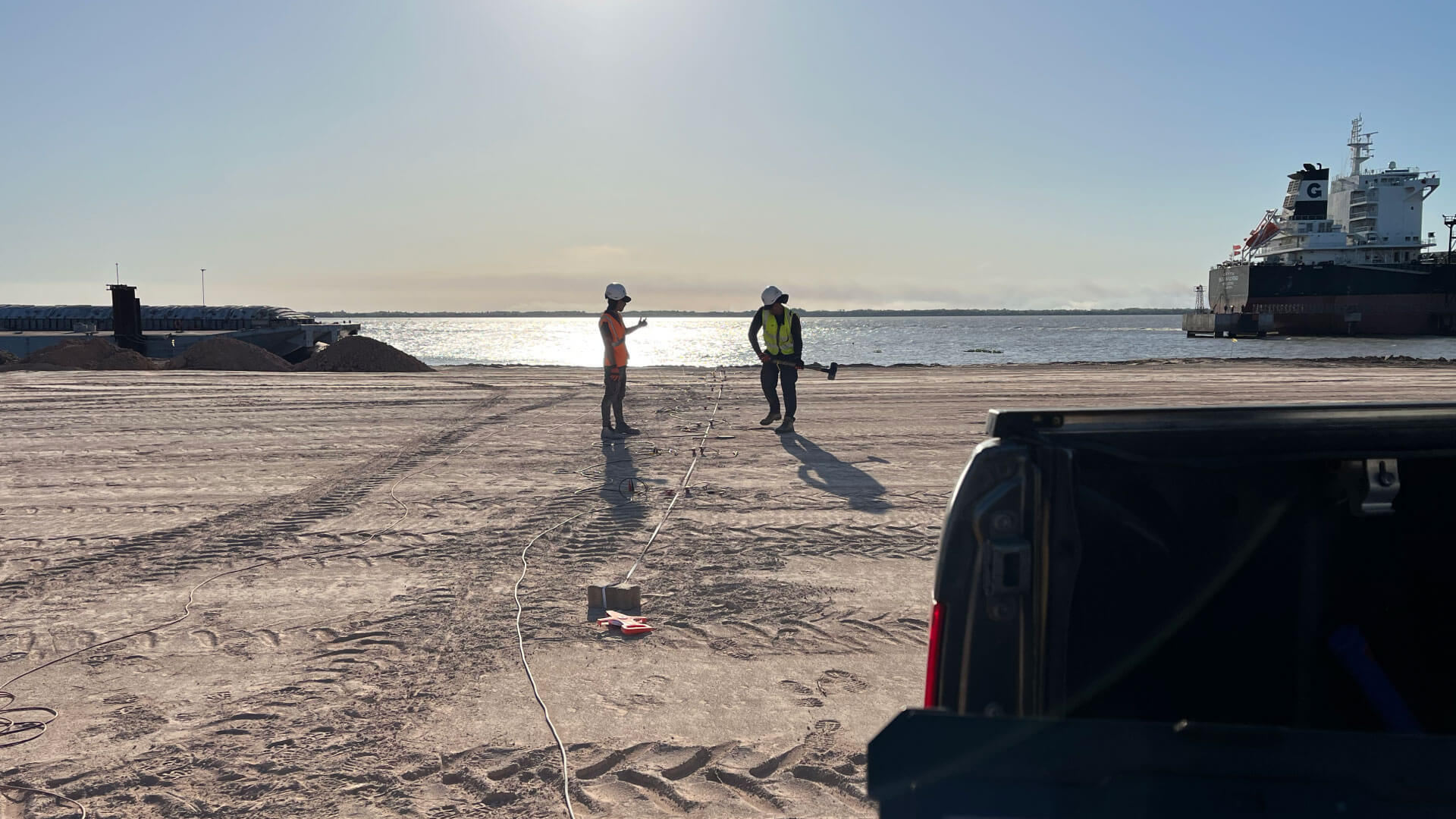
- Soil studies using seismic methods (marine and land)
- Seabed mapping and 3D model generation
- Hydrography and oceanography
- Design of channels, basins and manoeuvring areas
- Seabed sampling and analysis
- Current and sedimentation studies
- Detection of pipelines, utilities and buried objects
- Geodesy, topography and micro-geodesy
- Dredging control, pipeline laying and dynamic positioning
- Subsurface studies with ground-penetrating radar (GPR)
- Environmental studies and monitoring
- Aerial photogrammetry
- Geotechnical investigation: SPT, boreholes, test pits, pull-out tests
- Dynamic soil characterisation (MASW, ReMi, Nakamura)
- Pile integrity testing (PIT, CrossHole, Borehole)
- Electrical resistivity tomography and resistivity surveys
- Concrete and steel assessment using ultrasound and rebound hammer
Our areas of work
Geophysics
Geophysical exploration across Uruguay and Latin America.
Bathymetry
Multibeam and singlebeam bathymetric surveys.
Oceanography
Full oceanographic services for detailed, sustainable marine studies.
Land and Marine Seismics
Advanced land and marine seismic exploration, delivering key data for inland and coastal projects.
Electrical Resistivity Tomography
Detailed subsurface mapping through electrical resistivity tomography, essential for engineering and geosciences.
Underwater Inspection
Underwater inspection of infrastructure, ensuring safety and preventive maintenance.
Why choose our geophysical survey?
Advanced Technology
We work with state-of-the-art geophysical equipment to deliver accurate, dependable data.
Expert Team
Our engineers and geophysicists have the experience needed to deliver quality results.
Tailored Solutions
We adapt our services to the specific needs of each project.
Efficiency and Speed
We complete surveys on optimised timelines so your project keeps moving.
Reliable Results
The precision of our studies lets you make informed, confident decisions.
Do you need geophysical survey?
Tell us about your project and we will send you a tailored technical proposal. We reply promptly.
- Specialist technical advice
- State-of-the-art equipment
- A clear technical report for decision-making