Integrated Studies for Infrastructure
We assess the condition and integrity of quays, bridges, fenders and civil works through precision surveys, structural inspection and non-destructive testing. Get a dependable technical diagnosis with dimensional control, underwater inspection, concrete and steel assessment, and integrity analysis to plan maintenance and reduce risk.
What are infrastructure studies?
They are the set of surveys, inspections and tests that establish the condition, geometry and structural integrity of existing works: quays, bridges, piles, coastal defences and civil structures.
They make it possible to anticipate pathologies, plan preventive maintenance and make sound investment decisions, extending the service life of the assets.
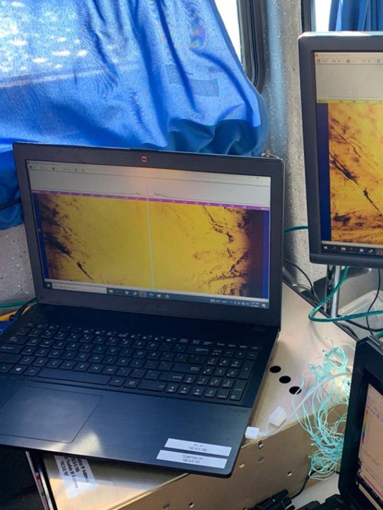
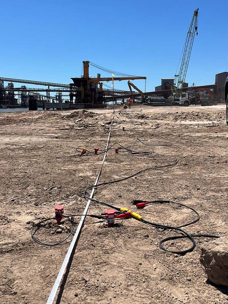
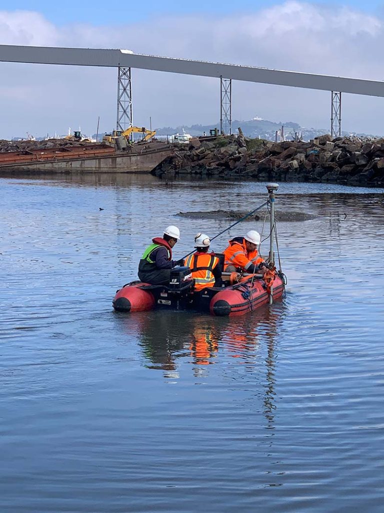
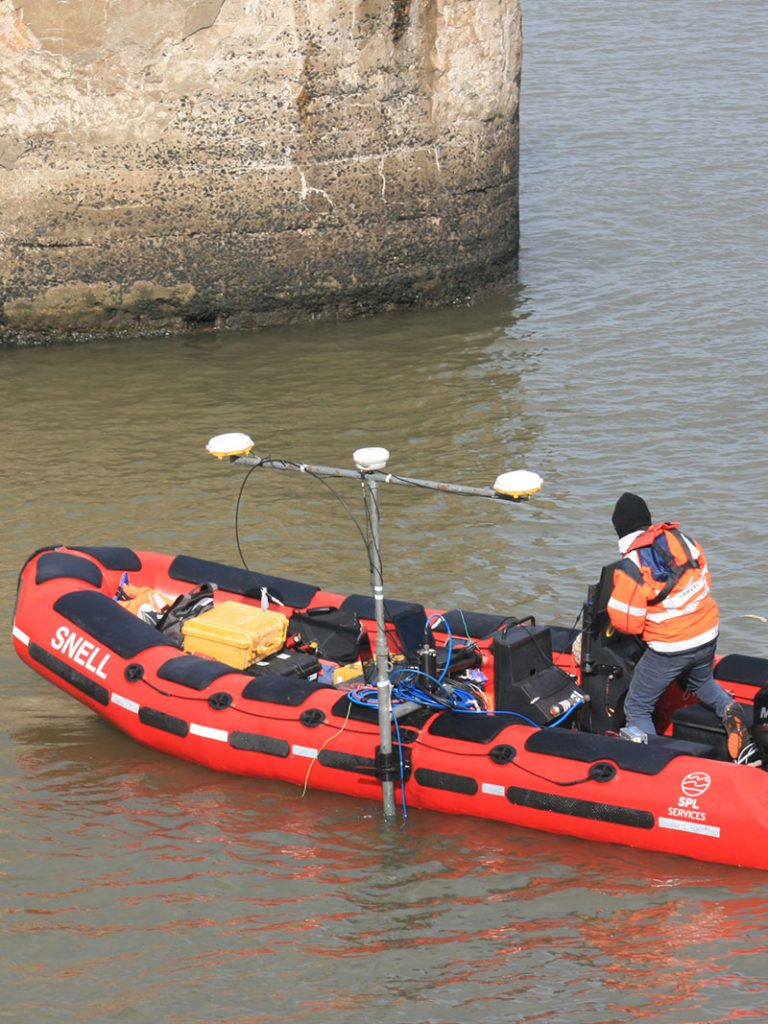
Advanced, sustainable technology for infrastructure assessment through the following techniques:
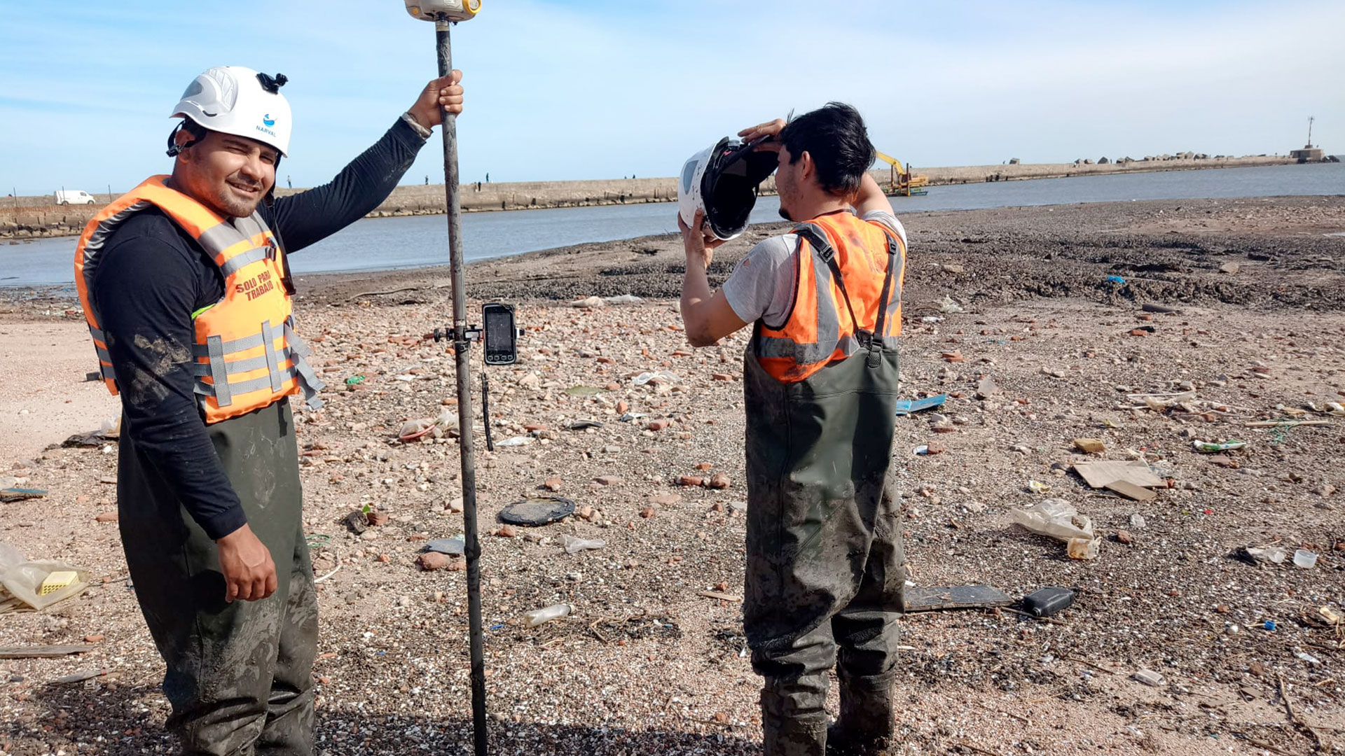
- Dimensional control and site survey (geodesy and micro-geodesy)
- Inspection and diagnosis of quays, bridges and structures
- Underwater inspection of infrastructure
- Pathology and inspection of infrastructure
- Pile integrity testing (PIT, CrossHole, Borehole)
- Concrete and steel assessment using ultrasound and rebound hammer
- Foundation assessment (parallel seismic)
- Vibration analysis of ground and infrastructure
- Seabed mapping and 3D model generation
- Aerial photogrammetry for site survey
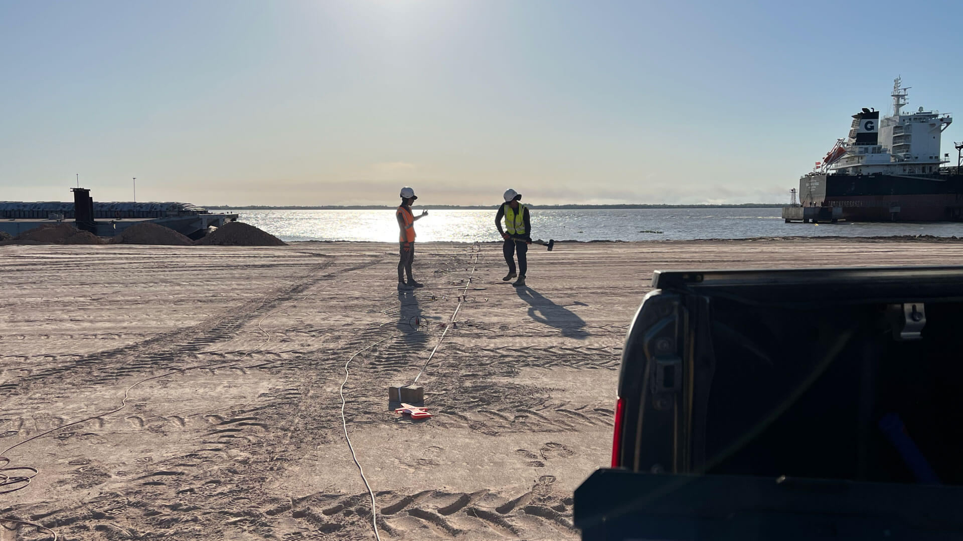
- Electrical resistivity tomography and resistivity surveys
- Detection of pipelines, utilities and buried objects
Survey, inspection and integrity
Quay Inspection
Structural diagnosis of quays and port works above and below the waterline.
Underwater Inspection
Inspection with divers and equipment for submerged infrastructure.
Dimensional Control
Precision geodetic survey to verify as-built geometry.
Concrete Assessment
Ultrasound and rebound hammer testing to assess strength and deterioration.
Pile Integrity
PIT, CrossHole and Borehole testing to verify foundation elements.
3D Models
Mapping and 3D models of the seabed and the structure for analysis.
Other areas where we can help
Geophysics
Geophysical exploration across Uruguay and Latin America.
Bathymetry
Multibeam and singlebeam bathymetric surveys.
Oceanography
Full oceanographic services for detailed, sustainable marine studies.
Land and Marine Seismics
Advanced land and marine seismic exploration, delivering key data for inland and coastal projects.
Electrical Resistivity Tomography
Detailed subsurface mapping through electrical resistivity tomography, essential for engineering and geosciences.
Underwater Inspection
Underwater inspection of infrastructure, ensuring safety and preventive maintenance.
Why choose our infrastructure studies?
Advanced Technology
We work with state-of-the-art geophysical equipment to deliver accurate, dependable data.
Expert Team
Our engineers and geophysicists have the experience needed to deliver quality results.
Tailored Solutions
We adapt our services to the specific needs of each project.
Efficiency and Speed
We complete surveys on optimised timelines so your project keeps moving.
Reliable Results
The precision of our studies lets you make informed, confident decisions.
Do you need infrastructure studies?
Tell us about your project and we will send you a tailored technical proposal. We reply promptly.
- Specialist technical advice
- State-of-the-art equipment
- A clear technical report for decision-making